

‘Data will drive action at Lough Neagh’ – Muir launches second phase of public dashboard
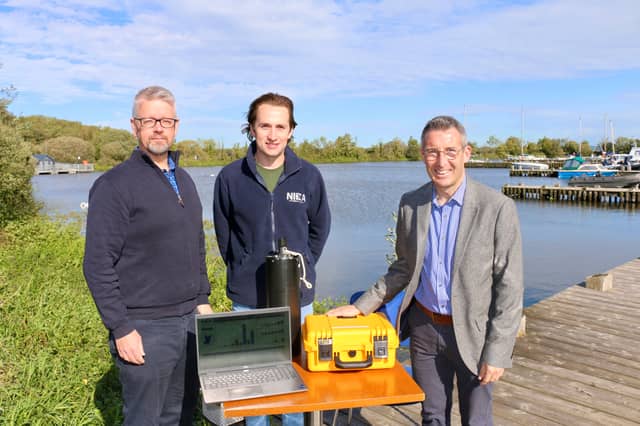

DAERA Minister Andrew Muir has launched the second phase of the Lough Neagh Water Quality Dashboard, significantly expanding the environmental information available to the public in one easy-to-use online place.
This information will assist individuals, researchers and organisations to understand the condition of the Lough.
The enhancement adds monthly water chemistry, nutrient and algal information from nine monitoring locations around the Lough shore. This new information complements the high-frequency monitoring already provided by instruments in Lough Neagh and monitoring probes in six of its principal tributaries.
Launching the second phase at a meeting of the Lough Neagh Stakeholder Forum in Ballyronan, Minister Muir said: “It has been another challenging summer for algae blooms on the Lough and I share the frustration that those living and working around the Lough and across Northern Ireland have in witnessing this environmental crisis.
“We must do all we can to turn this around and scientific monitoring is key to understanding these bloom events, identifying where risks may emerge and protecting public health.
"Restoring and protecting the long-term ecological health of Lough Neagh and other water bodies is possible, if we follow the science and support the difficult decisions needed.
“The update to the dashboard now provides data from a total of 18 locations, giving a fuller picture of the situation in and around the Lough, and all of this information is publicly available. This open and accessible evidence is essential to targeting action and interventions and will also help monitor progress over time.”
The first phase of the dashboard was launched in January 2026 to improve public access to information about conditions in Lough Neagh and its main tributaries through an interactive map, graphs and data downloads.
Phase two adds laboratory-analysed information from an additional nine shore-based monitoring sites at, Ballyronan, Bartin’s Bay, Cranfield, Derryadd, Moore’s Point, Rea’s Wood, Stanierd’s Point, Toome Bridge, and Washing Bay.
The expanded dashboard includes:
- Nutrients, such as phosphorus, nitrate and nitrite,
- Chlorophyll-a - a photosynthetic pigment found in plants and algae.
- Algal abundance and composition — information on the amount and types of algae identified in samples.
DAERA will continue to develop the dashboard in stages as further suitable monitoring and research information becomes available.
The expanded Lough Neagh Water Quality Dashboard is available at: https://daerani.maps.arcgis.com/apps/dashboards/19194a16844f499681d741c41441e68c